


A long time ago, in 1986, we were living a few houses from Yonge Street on Fairlawn Avenue. I remember riding my Norco road bike to a park on the east side of Yonge, just south of Lawrence.
I remember riding in the park, along paved trails, down into the Don Valley ravine, all the way to the Toronto Science Centre, and back home.
Later that year I followed that same system of trails, then south, all the way to Lake Ontario, and to the very end of the Leslie Street Spit.
Since I got the Brompton I have had my sights set on a repeat performance, with a twist.
Instead of starting the ravine trails at Yonge and Lawrence, I want to start from the Finch Corridor Trail just north of where we live now.
I have literally spent hours on the satellite map on my tablet, zooming in, trying to spot the trails among the trees in the parklands from Yonge and Lawrence to the Don Valley and the Science Centre. It's certainly not obvious. Since many, if not most of the trails are paved, and since they have names that show up on the satellite map, it shouldn't be this hard.
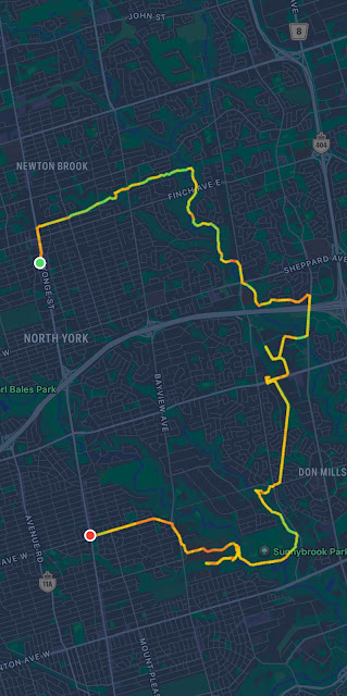
The trail-name sequence of the route I planned to take looks like this: Finch Corridor Trail, East Don River Trail, Betty Sutherland Trail, [city streets], Don Mills Trail, [cross at York Mills ave. and Leslie], Edwards Gardens, Wilket Creek Trail, Sunnybrook Park Trail, Burke Brook Trail, Sherwood Park Trail, Blythwood Park Ravine Trail.
Last year I made my first attempt. I made mistakes and missed where the trailhead for the Don Mills Trail sits where a bridge along York Mills avenue crosses over some railroad tracks. I eventually made it to Edwards Gardens at Leslie and Lawrence, but only after riding west along York Mills quite a ways to find park trails going south, then taking city streets to get to Edwards Gardens.
I know that once you make it to Edwards Gardens, the interconnecting trails go all the way to Lake Ontario. The reality is that the trails don't currently get exactly to the lake due to construction down at the end of the Don Valley, but close enough is good enough.
This morning Susan went with a friend to do some shopping. I decided to take another stab at Edwards Gardens, now that I know where the Don Mills Trail starts on York Mills avenue.
Another failure.
I made it to Edwards Gardens, after a detour to Don Mills road because construction has cut off the Don River Trail at the 401, and in the course of the detour I misunderstood the route, and wasted some time and energy getting back on course.
From Edwards Gardens I made it onto the Wilket Creek Trail.
At that point I knew I could get into the Don Valley trails, and eventually get to the lake. My goal however, was to find the trails that head northwest, duck under Bayview just north of Lawrence, and eventually go to that park at Yonge and Lawrence.
I failed. I was hoping I was on the Burke Brook Trail, but after a kilometre or so, as the trail went from pavement, to gravel, then over a series of derelict little bridges, it dead-ended. It was a 30 degree day. Fortunately I had picked up a couple of bottles of water before heading south from York Mills Avenue. I was tired, sweaty, disappointed, and basically lost, all by myself, on a decrepit trail, in a forest, deep in a ravine.
Of course 'lost' is relative. My phone had a good charge, I had the satellite map, and at that point I activated the compass utility on the iPhone. I doubled back, keeping an eye on the compass.
I found a road leading west out of the Don Valley at Sunnybrook park. It's a climb. I pedalled my way out, in first gear, but it was a chore. I got out of the ravine at Sunnybrook Hospital. Went north on Bayview to Lawrence, then west on Lawrence to Yonge where, mercifully, I folded the Brompton and hopped on the subway up to Finch station.
I lugged my Brompton up the stairs out of the Finch subway station, then basically coasted downhill and back home. That's where Bromptons truly excel. Fold and ride public transit. It's truly a game-changer.
Here is this little adventure by the numbers: duration 2 hours and 40 minutes; 26.3 kilometres from the beginning to the Lawrence subway station, then 0.61 km back home, for a total of 26.91 kms in the saddle; 177 metres of elevation gain; average heart rate of 137 beats per minute, 102 min, 164 max; 9.8 kmh average speed.
Overall, I enjoyed the exploration, I really did, but I still haven't unlocked the path I took in 1986. I need to tackle it again, next time starting at the opposite end at the park south of Yonge and Lawrence. It's quite possible that in the 37 years that have passed, real estate development wiped out the path I took back then.
We'll see.
Here are some photos I took along the way. They provide a glimpse of the amazing network of parkland trails that are available in the heart of Canada's largest metropolis. You can go very long distances, kilometre after kilometre, isolated from the urban sprawl and city streets that surround you, enjoying nature, far from cars.
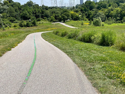 |
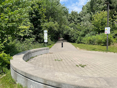
| Finch Corridor Trail |
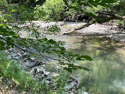 |
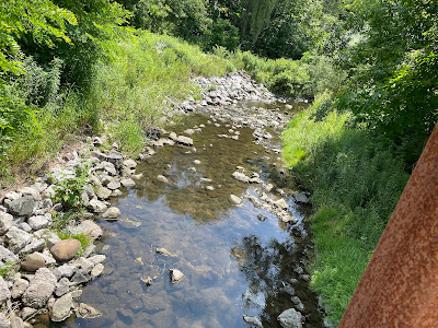
| East Don River Trail |
 |
| East Don River Trail |
 |
| East Don River Trail |
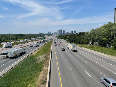 |
| Don Mills detour over the 401 |
 |
| End point Don Mills Trail |
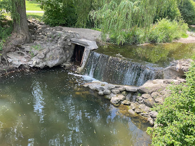 |
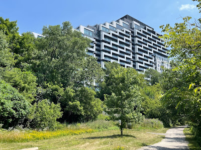
| Wilket Creek Trail |
 |
| Wilket Creek Trail |
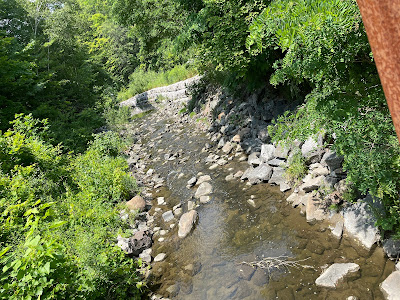 |
| Wilket Creek Trail |